Lacawac Sanctuary is dedicated to inspiring lifelong connections to nature and shaping the next generation of scientists and earth stewards through research, education, preservation.
OUR NEXT PROGRAM:
|
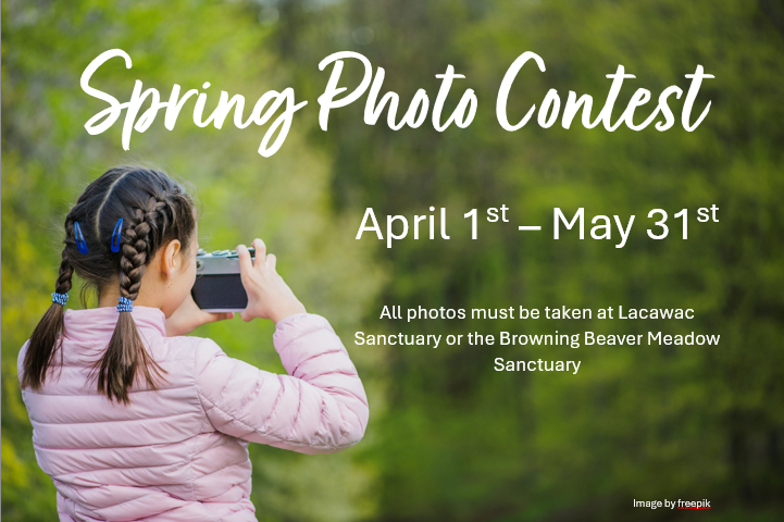
Spring Photo Contest
|
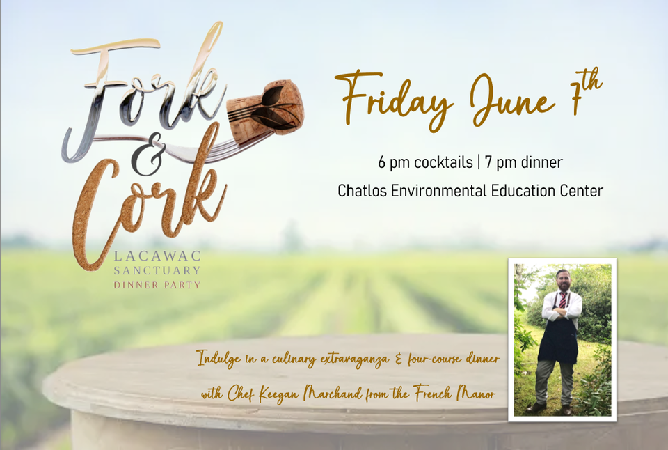
Fork and Cork Dinner Party
|

Summer Camps 2024
|
Membership
|
School Field Trips
|
Weddings
|