Shaping the Next Generation of Scientists & Earth Stewards
HOME
About
History
Staff
Employment Opportunities
Forest Notes Newsletters
Corporate Sponsors
Foundation/EITC Supporters
Adopt An Acre Supporters
Governance
Privacy Policy
General Information
DEI
Contact Us
Our Impact
Research
>
Research at Lacawac
Grants for Researchers
Facilities
College Classes
Collegiate Partners
Internships
Writing Retreat
Education
>
Field Trips
Lacawac in the Classroom
High School Programs
Summer Camps
>
Camp Counselor in Training
Conservation Leadership Academy
Preservation
>
PLEON
>
Shoreline Monitoring Program
Land Protection
Helping Injured Animals
Support Us
Membership
Annual Fund
>
Monthly Giving Program
Weddings
Corporate Sponsorship
Veteran Brick Campaign
Planned Giving
Endowments
Volunteer
Naming Opportunities
>
Trail Signage Program
Merchandise
Programs/Events
Programs
>
Lunch and Learn
Walk with a Doc
Lacawac Artists' Residency
Tackle Loaner Program
Spring Photo Contest
Fork and Cork Dinner
Lacawac Square Dance
Cocktails for Conservation
Farm to Plate
Run for the Osprey
Tapas on the Trail
Lake to Lake 8K Trail Run
Visit Us
Hiking at Lacawac
Preserves and Sanctuaries
Get Outside, Get Healthy
Virtual Tour
Facilities
Lodging Rentals
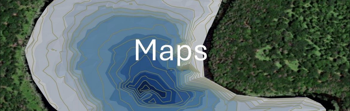
The following maps are available for designing and planning field research at Lacawac. All research efforts must be approved by the Lacawac Science Committee via the application process. Contact Beth Norman (
[email protected]
) with questions.
Terrestrial Maps:
Lacawac facilities and trails
Contour map with trails and waterbodies
Forest type and management units
Soil type
Watershed Map
Aquatic Maps:
Lake Lacawac bathymetric map
Heron Pond bathymetric map
Ephemeral streams